Use case
Improving access to Earth observation data and cloud computing for interactive biodiversity services
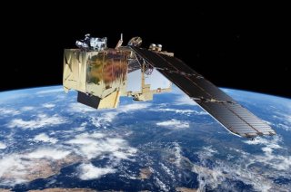
NextGEOSS creates a federated data hub for the access and exploitation of Earth observation data (EOD), including user-friendly tools for data mining, discovery, access and exploitation. This data hub is supported by a strong commitment to the engagement of Earth observation and related communities, with the view of supporting the creation of innovative and business-oriented applications.
Better access to EOD
NextGEOSS increases the connectivity with European and global data centres through new discovery and processing methods. Web and cloud technologies are leveraged, offering seamless and user-friendly access to all relevant data repositories and providing efficient operations for search, retrieval, processing/re-processing, visualisation, analysis and the combination of products from federated sources. NextGEOSS includes a set of demonstrative pilot activities, which will showcase the system’s capabilities, and a number of initiatives devoted to the engagement of GEO and other EO-related communities.
Our approach: managing & visualizing biodiversity data in the cloud
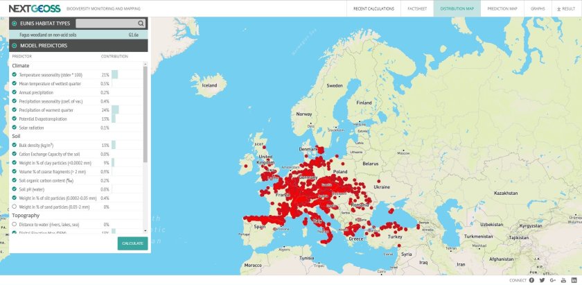
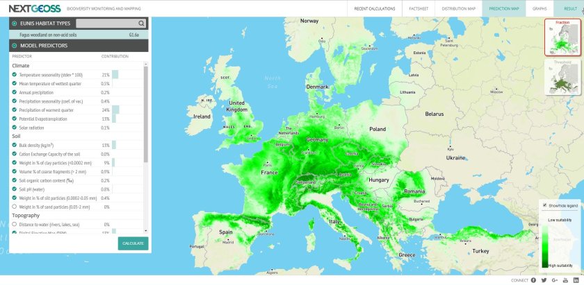
Wageningen Environmental Research is responsible for the biodiversity pilot and aims to build an interactive web interface for the biodiversity community, combining Earth observation data (translated into essential biodiversity variables), environmental datasets and in-situ vegetation records as input for European habitat modelling in the cloud.
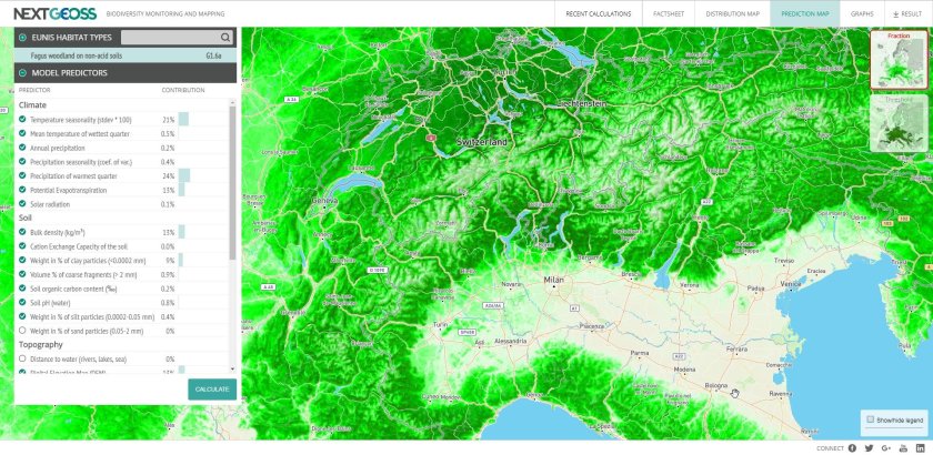
Wageningen Environmental Research (WEnR) has created an interactive web interface that simplifies European habitat distribution modelling in the cloud. We combine Earth observation data, environmental data layers, in-situ vegetation records and the MAXENT model for the end user’s desired habitat type. What makes this unique is that everything can be managed in the cloud, meaning end users only download the result if they are satisfied. This makes the application user-friendly and removes the need for time-consuming data layers. One limiting factor is that running a single habitat model for Europe takes more than five minutes, but this should be reduced to a minute or less in the near future.
(Expected) impact of the approach
Users can select the targeted habitat type and the preferred predictors and run the model in the cloud. They can then download the resulting habitat distribution map. The NextGEOSS biodiversity pilot foresees in the needs of the European Environment Agency, among others. WEnR is a partner in European Topic Centres for biodiversity and land use. These Topic Centres are cross-European partnerships that provide the EEA and the European Commission with state-of-the-art knowledge on biodiversity management across Europe. The NextGEOSS infrastructure and biodiversity pilot can be directly used by these partnerships.
Next steps
WUR plans to develop many more applications in the cloud, which combine Earth observation data and other data sources with the targeted models and outputs. We are currently using TerraDue’s Sandbox cloud computing facility, which is closely affiliated with the European Space Agency.


Used tools
- Earth observation data
- Large datasets of in-situ data for training the model
- MAXENT model
- Cloud computing
Cooperation with partners
- DEIMOS
- TerraDue
- University of Twente